Map of the North Polar Regions - stock illustration
Vintage engraving from 1878 showing a Map of the North Polar Regions

Get this image in a variety of framing options at Photos.com.
PURCHASE A LICENCE
All Royalty-Free licences include global use rights, comprehensive protection, and simple pricing with volume discounts available
$475.00
+GST AUD
Getty ImagesMap Of The North Polar Regions High-Res Vector Graphic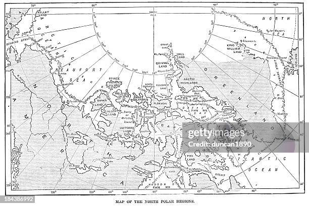 Download premium, authentic Map of the North Polar Regions stock illustrations from Getty Images. Explore similar high-resolution stock illustrations in our expansive visual catalogue.Product #:184386992
Download premium, authentic Map of the North Polar Regions stock illustrations from Getty Images. Explore similar high-resolution stock illustrations in our expansive visual catalogue.Product #:184386992$475+GST$50+GST
Getty Images
In stockDETAILS
Credit:
Creative #:
184386992
Licence type:
Collection:
DigitalVision Vectors
Max file size:
8559 x 5725 px (72.47 x 48.47 cm) - 300 dpi - 16 MB
Upload date:
Release info:
Model and property released
Categories:
- Map Illustrations
- Arctic Illustrations
- Greenland Illustrations
- Old-fashioned Illustrations
- 19th Century Illustrations
- 19th Century Style Illustrations
- Antique Illustrations
- Arctic Ocean Illustrations
- Baffin Bay Illustrations
- Baffin Island Illustrations
- Beaufort Sea Illustrations
- Canada Illustrations
- Cartography Illustrations
- Chart Illustrations
- Engraved Image Illustrations
- Equipment Illustrations
- Frobisher Bay Illustrations
- History Illustrations
- Horizontal Illustrations
- Illustration Illustrations
- Major Ocean Illustrations
- Manufactured Object Illustrations
- Navigational Equipment Illustrations
- North America Illustrations
- North Pole Illustrations
- Nunavut Illustrations
- Obsolete Illustrations
- Old
- Photography Illustrations
- Sea Illustrations
- Styles Illustrations
- Victorian Style Illustrations