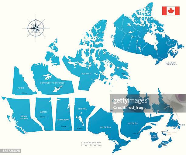
detailed vector map of canada with provincial borders in white. - canadian provinces map stock illustrations
canada map with provinces and territories - canadian provinces map stock pictures, royalty-free photos & images
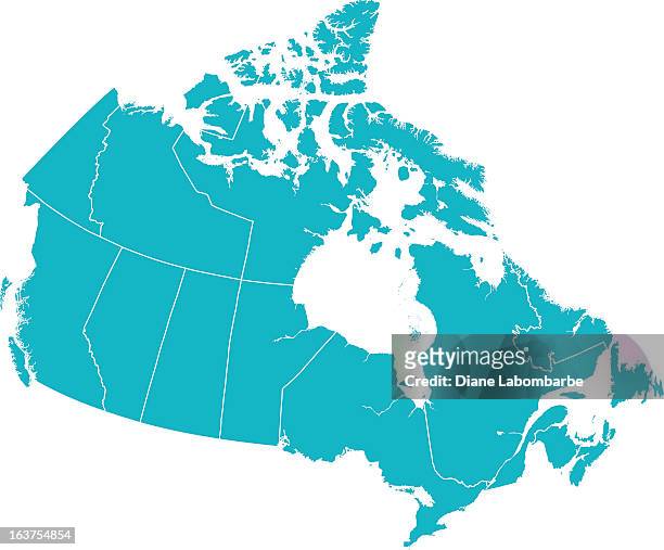
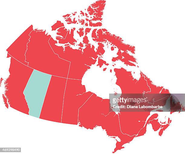
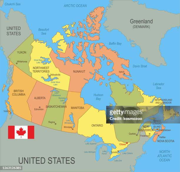
canada with provinces and territories - canadian provinces map stock pictures, royalty-free photos & images
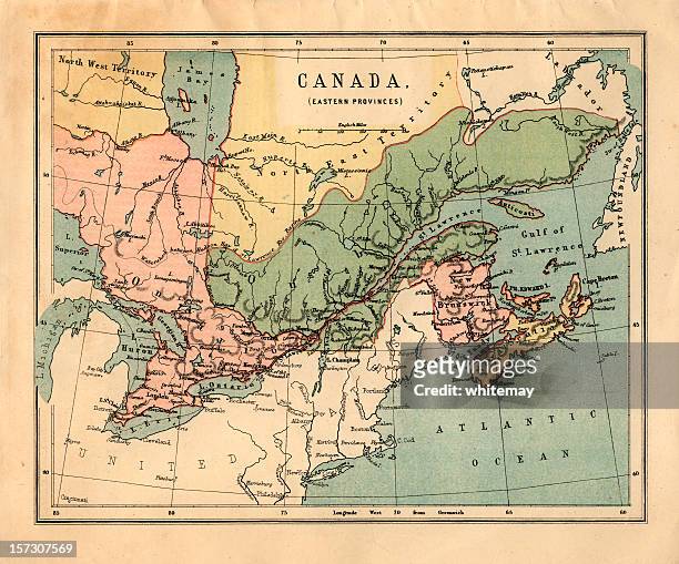
mid-victorian map of canadian eastern provinces - canadian provinces map stock pictures, royalty-free photos & images
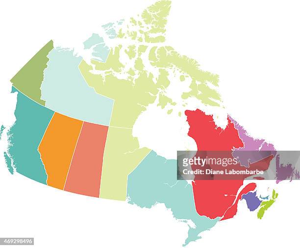
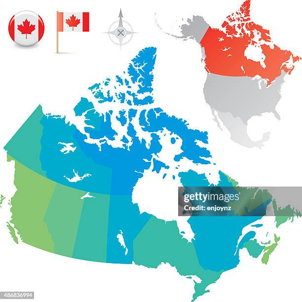
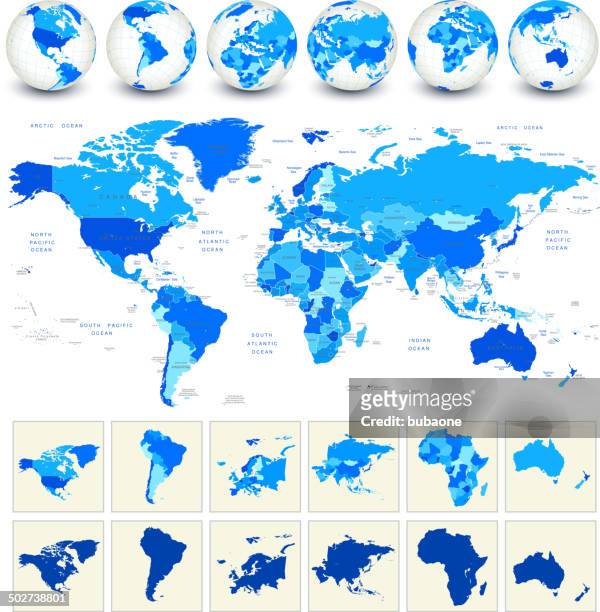
canada provinces and territories map vector illustration - canadian provinces map stock illustrations
old chromolithograph map of canada (eastern provinces) and newfoundland - canadian provinces map stock pictures, royalty-free photos & images
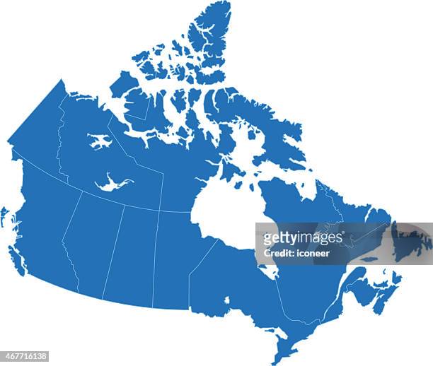
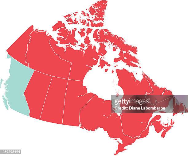
red map of canada with british columbia isolated in blue - canadian provinces map stock illustrations
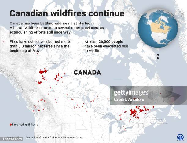
An infographic titled "Canadian wildfires continue'' created in Ankara, Turkiye on June 6, 2023. Canada has been battling wildfires that started in...
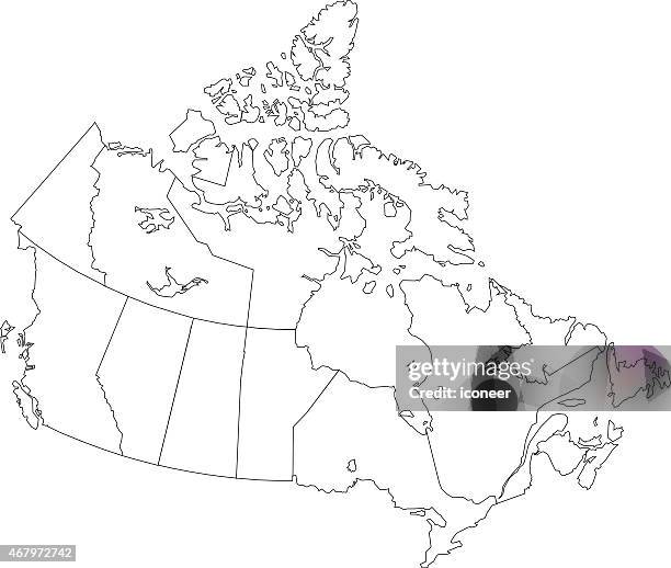
map of canada with prince edward island isolated in blue - canadian provinces map stock illustrations
Map of the Dominion of Canada, Eastern Provinces, 1902. Showing Newfoundland, Nova Scotia, the Gulf of St Lawrence and the Great Lakes. From The...
canada map on red background, long shadow, flat design,stamp - canadian provinces map stock illustrations
Map of the Dominion of Canada, 1902. Showing the various provinces. From The Century Atlas of the World. [John Walker & Co, Ltd., London, 1902]....
antique map of maritime provinces of canada - 19th century - canadian provinces map stock illustrations
Provinces of New York and New Jersey, with a part of Pennsylvania and the Province of Quebec, 1777. Illustrated by Claude Joseph Sauthier.
Chart on vellum of the coasts of what is now the east coast of the U.S. And the Canadian provinces of New Brunswick and Nova Scotia. The mapmaker was...
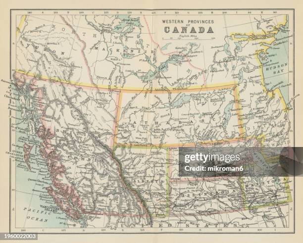
old chromolithograph map of western provinces of canada - canadian provinces map stock pictures, royalty-free photos & images
old chromolithograph map of quebec, one of the thirteen provinces and territories of canada, the largest province by area and the second-largest by population - canadian provinces map stock pictures, royalty-free photos & images
old chromolithograph map of province of quebec, one of the thirteen provinces and territories of canada - canadian provinces map stock pictures, royalty-free photos & images
old chromolithograph map of province of quebec, one of the thirteen provinces and territories of canada - canadian provinces map stock pictures, royalty-free photos & images


![Map of the Dominion of Canada, 1902. Showing the various provinces. From The Century Atlas of the World. [John Walker & Co, Ltd., London, 1902]....](https://media.gettyimages.com/id/1055145700/photo/map-of-the-dominion-of-canada-1902-showing-the-various-provinces-from-the-century-atlas-of.jpg?s=612x612&w=gi&k=20&c=6Ac8Cd6-EYgKEJexZC5rLOxBqCvb1AwfqnqrYQW5LJ8=)