Map of the United Kingdom of Great Britain and Ireland (UK) using Squares - stock illustration
This vector illustration uses squares to create a detailed map of the UK, including England, Ireland, Scotland and Wales. The EPS 10 file is easy to colour and customise if required and can be scaled to any size without loss of quality, making it an ideal design element for your project.

Get this image in a variety of framing options at Photos.com.
PURCHASE A LICENCE
All Royalty-Free licences include global use rights, comprehensive protection, and simple pricing with volume discounts available
$475.00
+GST AUD
Getty ImagesMap Of The United Kingdom Of Great Britain And Ireland Using Squares High-Res Vector Graphic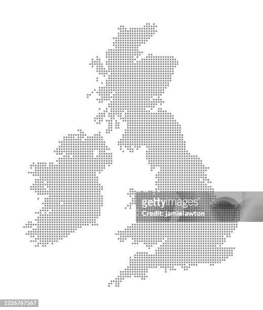 Download premium, authentic Map of the United Kingdom of Great Britain and Ireland (UK) using Squares stock illustrations from Getty Images. Explore similar high-resolution stock illustrations in our expansive visual catalogue.Product #:1226767567
Download premium, authentic Map of the United Kingdom of Great Britain and Ireland (UK) using Squares stock illustrations from Getty Images. Explore similar high-resolution stock illustrations in our expansive visual catalogue.Product #:1226767567$475+GST$50+GST
Getty Images
In stockDETAILS
Credit:
Creative #:
1226767567
Licence type:
Collection:
DigitalVision Vectors
Max file size:
3472 x 4097 px (29.40 x 34.69 cm) - 300 dpi - 6 MB
Upload date:
Location:
United Kingdom
Release info:
No release required
Categories:
- Map,
- UK,
- Spotted,
- Ireland,
- Northern Ireland,
- Europe,
- Half Tone,
- Island,
- Abstract,
- Black And White,
- Black Colour,
- Brexit,
- Business Finance and Industry,
- Cartography,
- Country - Geographic Area,
- England,
- European Union,
- Geometric Shape,
- Global,
- Global Communications,
- Globe - Navigational Equipment,
- Grey Colour,
- Greyscale,
- Illustration,
- In A Row,
- International Landmark,
- Land,
- Monochrome,
- Mosaic,
- No People,
- Pattern,
- Physical Geography,
- Pixellated,
- Republic of Ireland,
- Scotland,
- Shape,
- Simplicity,
- Technology,
- Topographic Map,
- Travel,
- Vector,
- Vertical,
- Wales,
- White Background,
- White Colour,
- World Map,