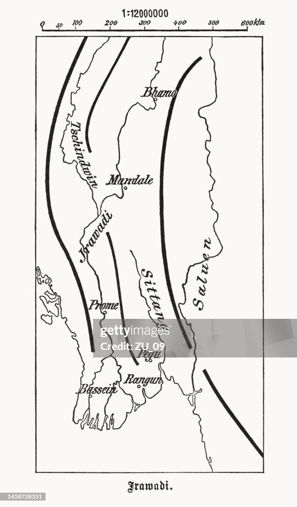
Map of the Irrawaddy River, Myanmar, wood engraving, published 1899 - stock illustration
Historical map of the Irrawaddy River, which drains parts of Myanmar (Burma), Thailand and India into the Andaman Sea. Wood engraving, published in 1899.

Get this image in a variety of framing options at Photos.com.
PURCHASE A LICENCE
All Royalty-Free licences include global use rights, comprehensive protection, and simple pricing with volume discounts available
$475.00
+GST AUD
Getty ImagesMap Of The Irrawaddy River Myanmar Wood Engraving Published 1899 High-Res Vector Graphic Download premium, authentic Map of the Irrawaddy River, Myanmar, wood engraving, published 1899 stock illustrations from Getty Images. Explore similar high-resolution stock illustrations in our expansive visual catalogue.Product #:1458728331
 Download premium, authentic Map of the Irrawaddy River, Myanmar, wood engraving, published 1899 stock illustrations from Getty Images. Explore similar high-resolution stock illustrations in our expansive visual catalogue.Product #:1458728331
$475+GST$50+GST
Getty Images
In stockDETAILS
Credit:
Creative #:
1458728331
Licence type:
Collection:
DigitalVision Vectors
Max file size:
3400 x 5800 px (28.79 x 49.11 cm) - 300 dpi - 3 MB
Upload date:
Location:
Germany
Release info:
Property released
Categories:
- Andaman Sea,
- Map,
- 19th Century,
- Artistic Product,
- Asia,
- Bay Of Bengal,
- Black And White,
- British Culture,
- British Empire,
- Cartography,
- Colonialism,
- Colony - Territory,
- Cultures,
- Drawing - Artistic Product,
- East Asia,
- East Asian Culture,
- Engravement,
- Etching,
- Germany,
- History,
- Illustration,
- India,
- Irrawaddy Delta,
- Myanmar,
- Myanmar Culture,
- Nostalgia,
- River,
- River Ayeyarwady,
- South Asia,
- South Asian Culture,
- Thailand,
- The Past,
- Topographic Map,
- Topography,
- Vertical,
- White Background,
- Woodcut,