Helsinki, Finland Vector Map - stock illustration
Topographic / Road map of Helsinki, Finland Map data is open data via openstreetmap contributors. All maps are layered and easy to edit. Roads are editable stroke.

Get this image in a variety of framing options at Photos.com.
PURCHASE A LICENCE
All Royalty-Free licences include global use rights, comprehensive protection, and simple pricing with volume discounts available
$475.00
+GST AUD
Getty ImagesHelsinki Finland Vector Map High-Res Vector Graphic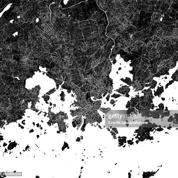 Download premium, authentic Helsinki, Finland Vector Map stock illustrations from Getty Images. Explore similar high-resolution stock illustrations in our expansive visual catalogue.Product #:1425989516
Download premium, authentic Helsinki, Finland Vector Map stock illustrations from Getty Images. Explore similar high-resolution stock illustrations in our expansive visual catalogue.Product #:1425989516$475+GST$50+GST
Getty Images
In stockDETAILS
Credit:
Creative #:
1425989516
Licence type:
Collection:
DigitalVision Vectors
Max file size:
4000 x 4000 px (33.87 x 33.87 cm) - 300 dpi - 37 MB
Upload date:
Location:
United States
Release info:
No release required
Categories:
- Finland Illustrations,
- Map Illustrations,
- Abstract Illustrations,
- Aerial View Illustrations,
- Backgrounds Illustrations,
- Bay of Water Illustrations,
- Black And White Illustrations,
- Black Colour Illustrations,
- Cartographer Illustrations,
- Cartography Illustrations,
- City Illustrations,
- City Street Illustrations,
- Design Illustrations,
- Diagram Illustrations,
- Espoo Illustrations,
- Famous Place Illustrations,
- Finnish Culture Illustrations,
- Finnish Flag Illustrations,
- Gulf Of Finland Illustrations,
- Helsinki Illustrations,
- Helsinki Arena Illustrations,
- Helsinki City Hall Illustrations,
- Helsinki Harbor Illustrations,
- Helsinki Lutheran Cathedral Illustrations,
- Helsinki Olympic Stadium Illustrations,
- Helsinki Synagogue Illustrations,
- Helsinki University Illustrations,
- Helskini-Vantaa Airport Illustrations,
- Illustration Illustrations,
- Inset Map Illustrations,
- Land Illustrations,
- Major Road Illustrations,
- Olympic Stadium Illustrations,
- Physical Geography Illustrations,
- Projection Mapping Illustrations,
- Road Illustrations,
- Road Junction Illustrations,
- Road Map Illustrations,
- Single Line Illustrations,
- Square - Composition Illustrations,
- Street Illustrations,
- Street Map Illustrations,
- Tourism Illustrations,
- Tourist Illustrations,
- Tourist Resort Illustrations,
- Town Square Illustrations,
- Transportation Illustrations,
- Travel Illustrations,
- Urban Road Illustrations,
- Vector Illustrations,
- Water Illustrations,
- White Colour Illustrations,