A flat Montana state map and surroundings - stock illustration
A detailed map of Montana state with major rivers, lakes, roads and cities plus National Parks, national forests and indian reservations.

Get this image in a variety of framing options at Photos.com.
PURCHASE A LICENCE
All Royalty-Free licences include global use rights, comprehensive protection, and simple pricing with volume discounts available
$475.00
+GST AUD
Getty ImagesA Flat Montana State Map And Surroundings High-Res Vector Graphic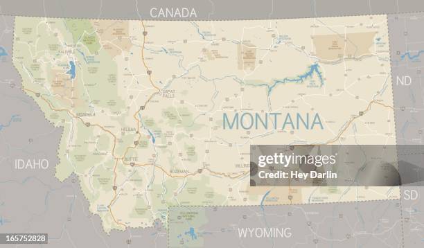 Download premium, authentic A flat Montana state map and surroundings stock illustrations from Getty Images. Explore similar high-resolution stock illustrations in our expansive visual catalogue.Product #:165752828
Download premium, authentic A flat Montana state map and surroundings stock illustrations from Getty Images. Explore similar high-resolution stock illustrations in our expansive visual catalogue.Product #:165752828$475+GST$50+GST
Getty Images
In stockDETAILS
Credit:
Creative #:
165752828
Licence type:
Collection:
DigitalVision Vectors
Max file size:
5927 x 3466 px (50.18 x 29.35 cm) - 300 dpi - 10 MB
Upload date:
Release info:
No release required
Categories:
- Map,
- Montana - Western USA,
- Vector,
- Butte - Montana,
- Flathead Lake,
- Road Map,
- USA,
- Bozeman,
- Western USA,
- Yellowstone National Park,
- Billings - Montana,
- Gallatin National Forest,
- Illustration,
- Kalispell,
- Lolo National Forest,
- Major Road,
- Missoula,
- No People,
- North America,
- River Flathead,
- River Missouri,
- River Yellowstone,
- Road,
- Transportation,
- US Glacier National Park,