Brussels, Belgium Vector Map - stock illustration
Poster Style Topographic / Road map of Brussels, Belgium. Original map data is open data via © OpenStreetMap contributors. All maps are layered and easy to edit. Roads are editable stroke.

Get this image in a variety of framing options at Photos.com.
PURCHASE A LICENCE
All Royalty-Free licences include global use rights, comprehensive protection, and simple pricing with volume discounts available
$475.00
+GST AUD
Getty ImagesBrussels Belgium Vector Map High-Res Vector Graphic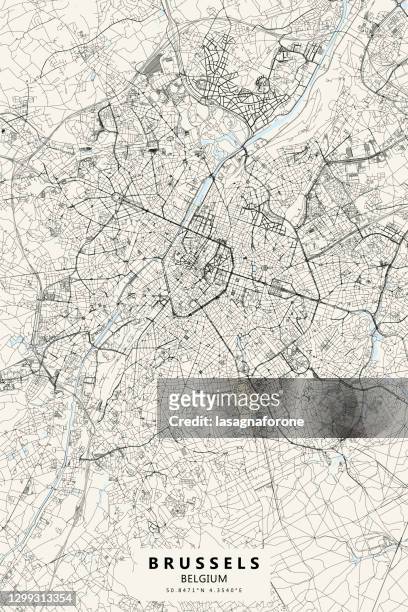 Download premium, authentic Brussels, Belgium Vector Map stock illustrations from Getty Images. Explore similar high-resolution stock illustrations in our expansive visual catalogue.Product #:1299313354
Download premium, authentic Brussels, Belgium Vector Map stock illustrations from Getty Images. Explore similar high-resolution stock illustrations in our expansive visual catalogue.Product #:1299313354$475+GST$50+GST
Getty Images
In stockDETAILS
Credit:
Creative #:
1299313354
Licence type:
Collection:
DigitalVision Vectors
Max file size:
3000 x 4500 px (25.40 x 38.10 cm) - 300 dpi - 19 MB
Upload date:
Location:
United States
Release info:
No release required
Categories:
- City of Brussels,
- Brussels-Capital Region,
- Map,
- Vector,
- Street Map,
- Belgium,
- Grand Place - Brussels,
- Illustration,
- Street,
- Abstract,
- Aerial View,
- Architecture,
- Atomium,
- Backgrounds,
- Belgian Culture,
- Belgian Currency,
- Belgian Flag,
- Belgian Royalty,
- Bruparck Mini-Europe,
- Capital Region,
- Cartography,
- City,
- City Life,
- City Street,
- Cityscape,
- Colour Image,
- Design,
- Diagram,
- Downtown District,
- Global Positioning System,
- Land,
- Latitude,
- Le Cinquantenaire,
- Line Art,
- Mannekin Pis,
- No People,
- Outline,
- Physical Geography,
- Projection Mapping,
- River,
- Road,
- Royal Palace - Brussels,
- Topographic Map,
- Topography,
- Tourism,
- Town Square,
- Travel,
- Travel Destinations,
- USA,
- Vacations,
- Vertical,
- Water,